
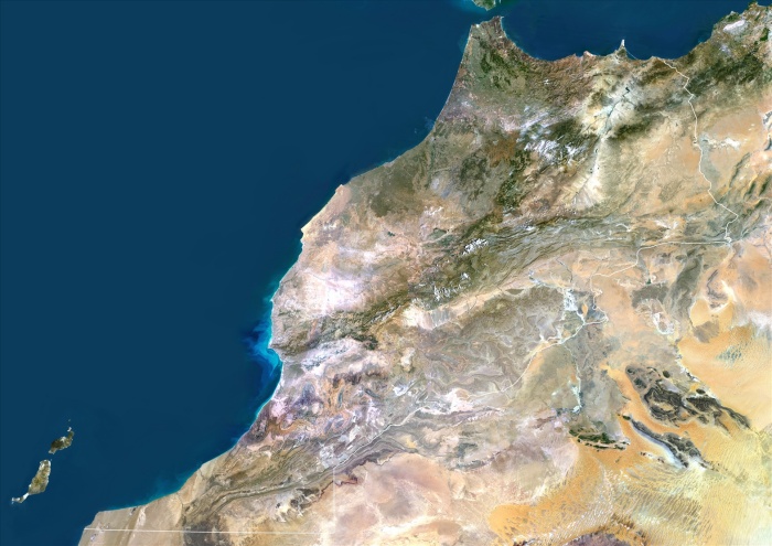
Morocco, True Colour Satellite Image With Border. Morocco. True colour satellite image of Morocco, with border. The Strait of Gibraltar is at top center. The Mediterranean Sea is to the east of this strait, with the Atlantic Ocean to the west. This image was compiled from data acquired by LANDSAT 5 & 7 satellites.
| px | px | dpi | = | cm | x | cm | = | MB |
Details
Creative#:
TOP09062952
Source:
達志影像
Authorization Type:
RM
Release Information:
須由TPG 完整授權
Model Release:
NO
Property Release:
NO
Right to Privacy:
No
Same folder images:
 Loading