
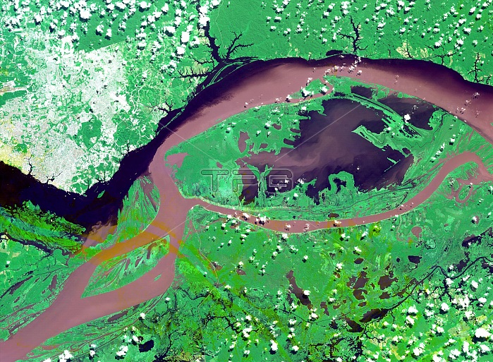
Satellite image of the junctions of the Amazon and the Rio Negro Rivers at Manaus, Brazil. The Rio Negro flows 2300 km from Columbia, and is the dark current forming the north side of the river. It gets its color from the high tannin content in the water. The Amazon is sediment laden, appearing brown in this simulated natural color image. Manaus is the capital of Amazonas state, and has a population in excess of one million. This image covers an area of 60 x 45 km and was acquired on July 16, 2000 by the Advanced Spaceborne Thermal Emission and Reflection Radiometer (ASTER) on NASA's Terra satellite.
| px | px | dpi | = | cm | x | cm | = | MB |
Details
Creative#:
TOP22287538
Source:
達志影像
Authorization Type:
RM
Release Information:
須由TPG 完整授權
Model Release:
N/A
Property Release:
No
Right to Privacy:
No
Same folder images:
 Loading