
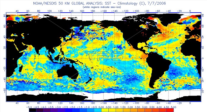
The last El Ni簽o was in 2006-07 and, at its peak, sea surface temperatures averaged about 0.9 degrees above normal. But this is a stage which has already been reached by this one. The last El Ni簽o was categorized comparatively weak according to the Oceanic Ni簽o Index (ONI) the standard that NOAA uses for identifying El Ni簽o (warm) and La Ni簽a (cool) events in the tropical Pacific. El Ni簽o is a warming of the surface water of the eastern and central Pacific Ocean, occurring every 4 to 12 years and causing unusual global weather patterns. An El Ni簽o is said to occur when the trade winds that usually push warm surface water westward weaken, allowing the warm water to pool as far eastward as the western coast of South America. When this happens, the typical pattern of coastal upwelling that carries nutrients from the cold depths to the ocean surface is disrupted, and fish and plankton die off in large numbers. El Ni簽o warming is associated with the atmospheric phenomenon known as the southern oscillation, and their combined effect brings heavy rain to western South American and drought to eastern Australia and Indonesia. El Ni簽o also affects the weather in the United States, but not as predictably.
| px | px | dpi | = | cm | x | cm | = | MB |
Details
Creative#:
TOP22301249
Source:
達志影像
Authorization Type:
RM
Release Information:
須由TPG 完整授權
Model Release:
N/A
Property Release:
No
Right to Privacy:
No
Same folder images:
 Loading