
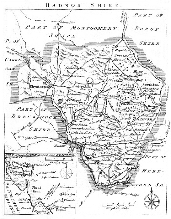
Map of Radnorshire in Wales, mid-18th century, with towns marked including Rhyadergowy, Knighton, Presteign and Hay-on-Wye.
| px | px | dpi | = | cm | x | cm | = | MB |
Details
Creative#:
TOP23887522
Source:
達志影像
Authorization Type:
RM
Release Information:
須由TPG 完整授權
Model Release:
No
Property Release:
No
Right to Privacy:
No
Same folder images:
 Loading