
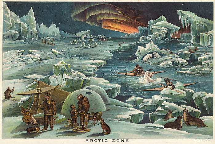
Geografie:Karten / Schautafeln."ARCTIC ZONE."(Nordpolargebiet).Schautafel.Farblithografie von Levi Walter Yaggy (1848-1912).Aus einem Kasten mit 12 Schautafeln zur Geografie und Astronomie f黵 den Schulunterricht.Chicago (C.F.Rassweiler & Co.) 1893.
| px | px | dpi | = | cm | x | cm | = | MB |
Details
Creative#:
TOP24885555
Source:
達志影像
Authorization Type:
RM
Release Information:
須由TPG 完整授權
Model Release:
No
Property Release:
No
Right to Privacy:
No
Same folder images:
19THCENTURY2NDMILLENNIUMA.D.AMERICANARTAMERICANART(USA)ANIMALARCTICREGIONArtBOATCDCHARTCHROMOLITHOGRAPHYCHROMOLITHOGRAPHCLIMECLIMATICZONEDOGEARTHSOILEDUCATIONPEDAGOGYESKIMOSINUITFAMILYFIGHTGEOGRAPHYGRAPHICARTGRAPHICARTSICEICE(WEATHER)ICEFLOEICECAKESHEETOFICEIGLOOKAYAKLANDSCAPEFORMATLITHOGRAPHMAPMAKINGMOTHERANDCHILDNatureNORTHPOLENORTHERNLIGHTSPERSONHUMANINDIVIDUALPOLARBEARPRINTEDGRAPHICSSEAL(ANIMAL)SNOWSHOESTENTTOPOGRAPHY
(ANIMAL)(USA)(WEATHER)19TH2NDA.D.AMERICANAMERICANANDANIMALARCTICARTARTARTARTSArtBEARBOATCAKECDCENTURYCHARTCHILDCHROMOLITHOGRAPHCHROMOLITHOGRAPHYCLIMATICCLIMEDOGEARTHEDUCATIONESKIMOSFAMILYFIGHTFLOEFORMATGEOGRAPHYGRAPHICGRAPHICGRAPHICSHUMANICEICEICEICEICEIGLOOINDIVIDUALINUITKAYAKLANDSCAPELIGHTSLITHOGRAPHMAKINGMAPMILLENNIUMMOTHERNORTHNORTHERNNatureOFPEDAGOGYPERSONPOLARPOLEPRINTEDREGIONSEALSHEETSNOWSHOESSOILTENTTOPOGRAPHYZONE
 Loading