
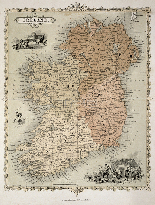
STC217031 Map of Ireland, published c.1850 (hand-coloured engraving) by Montague, C. (fl.c.1850); 31x24 cm; Private Collection; (add.info.: inset vignettes of \'Four Courts, Dublin\',\' Donnybrook\', \'An Irish Ejectment\'; peasant family evicted by military;); The Stapleton Collection; English, out of copyright.
| px | px | dpi | = | cm | x | cm | = | MB |
Details
Creative#:
TOP26946383
Source:
達志影像
Authorization Type:
RM
Release Information:
須由TPG 完整授權
Model Release:
No
Property Release:
No
Right to Privacy:
No
Same folder images:
 Loading