
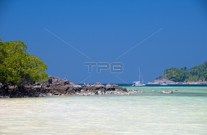
Ko Surin Marine National Park is one of Thailandˇs last frontiers for diving and sailing. This marine park in the Andaman Sea contains some of the countryˇs most highly developed coral reefs. The Koh Surin archipelago is a 135 square kilometre area lying in the Andaman Sea some 60 kilometres (38 miles) off mainland Ranong Province. The parkˇs five islands lie just south of the border with Burma. Koh Surin Nua, one of the two main islands, has an area of about 19 square kilometres, with 240 metres its highest elevation. The other main island, Koh Surin Tai, is about 12 square kilometres, and 350 metres at its highest point. The two islands are separated by a narrow strait, only 200 metres wide, which may be waded at low tide. Both are hilly, with almost no flat ground beyond small pockets of mangrove and little beaches which nestle in the many coves. The other islands in the group are more properly speaking only rocky islets, sparely covered with scrub vegetation. Koh Surin was uninhabited till about the time of the Second World War. Even after it was declared a national park, in 1981, there were only a few hundred people to relocate. Today, park officials have a station on Koh Surin Nua, while Koh Surin Tai is home to a tiny Moken (Sea Gypsy) fishing community.
| px | px | dpi | = | cm | x | cm | = | MB |
Details
Creative#:
TOP27284709
Source:
達志影像
Authorization Type:
RM
Release Information:
須由TPG 完整授權
Model Release:
No
Property Release:
No
Right to Privacy:
No
Same folder images:
 Loading