
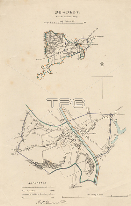
Map of Bewdley from the Ordnance Survey; Print made by Robert Kearsley Dawson; 1798-1861; British; undated; Etching with hand coloring on moderately thick; slightly textured; cream wove paper; Sheet: 13 9/16 x 8 7/16 inches (34.4 x 21.4 cm) and Image: 10 3/4 x 7 inches (27.3 x 17.8 cm); architectural subject; boundaries; cartographic material; cartography; key (text); map; river; scale (rule); still life; streets; town; Bewdley; England; Hereford and Worcester; Severn; United Kingdom
| px | px | dpi | = | cm | x | cm | = | MB |
Details
Creative#:
TOP28500701
Source:
達志影像
Authorization Type:
RM
Release Information:
須由TPG 完整授權
Model Release:
No
Property Release:
No
Right to Privacy:
No
Same folder images:
 Loading