
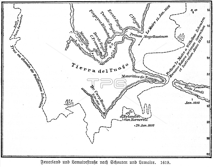
Map, Tierra del Fuego, Cape Horn, Strait of Magellan, latitude, 17th century, voyage by ship, Wilhelm Schonten, Le Maire, historical illustration 1885
| px | px | dpi | = | cm | x | cm | = | MB |
Details
Creative#:
TOP29236679
Source:
達志影像
Authorization Type:
RM
Release Information:
須由TPG 完整授權
Model Release:
No
Property Release:
No
Right to Privacy:
No
Same folder images:
1person17thcenturyAmericacapescapeChileanChilecoastalareascoastalareacoastalregioncoastscoastcruisescruiseFirelandgeographyheadlandHistoricalillustrationhistoricalHistoricillustrationsHistoricillustrationhistorichornshornillustrationsillustrationjourneyLatinAmericalatitudeslatitudemapsmaponepersonPatagoniapromontoryseaseventeenthcenturyshipsshipshoresinglepersonSouthAmericanSouthAmericaspitoflandspitsoflandStraitofMagellanstraitsstraitthe1600sTierradelFuegotravelphotographytravelTripvesselvoyagebyshipvoyagewaterfrontWilhelmSchonten
11600s17thAmericaAmericaAmericaAmericanChileChileanFirelandFuegoHistoricHistoricHistoricalLatinMagellanPatagoniaSchontenSouthSouthStraitTierraTripWilhelmareaareasbycapecapescenturycenturycoastcoastalcoastalcoastalcoastscruisecruisesdelgeographyheadlandhistorichistoricalhornhornsillustrationillustrationillustrationillustrationsillustrationsjourneylandlandlatitudelatitudesmapmapsofofofonepersonpersonpersonphotographypromontoryregionseaseventeenthshipshipshipsshoresinglespitspitsstraitstraitsthetraveltravelvesselvoyagevoyagewaterfront
 Loading