
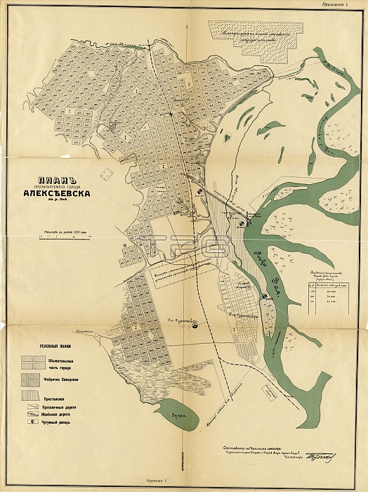
Plan of the planned city of Alekseevsk on the Zeya River, 1912. From the atlas "Chertezhi, grafiki, diagrammy k dokladu gorod Alekseevsk na Zee". Uslovnye znaki: chasti goroda -obyvatelskaia, fabrichno-zavodskaia, pristanskaia, dorogi - proselochnye, zheleznye, chugunnyi reper. Otmecheny: nomera kvartalov, ploshchadi s nazvaniiami, tserkvi, granitsa nadela, kolodtsy, vodomernyi post, proektiruemai.
| px | px | dpi | = | cm | x | cm | = | MB |
Details
Creative#:
TOP29694893
Source:
達志影像
Authorization Type:
RM
Release Information:
須由TPG 完整授權
Model Release:
Not Required
Property Release:
Not Required
Right to Privacy:
No
Same folder images:
citylibraryhistoricalmapcountrygeographycolorlocationcenturyRussiaRussiancartographyatlasconceptSiberiaLibraryofCongressFederationColourCyrillic1900s20thcenturyhistoryhistoricmap-makingTGNstreetmapMapmaking1912CongressionalLibraryHeritageArtcartographicMeetingofFrontiersBulgakovA.I.A.I.BulgakovBlagoveshchensk
1900s191220thA.A.ArtBlagoveshchenskBulgakovBulgakovColourCongressCongressionalCyrillicFederationFrontiersHeritageI.I.LibraryLibraryMapmakingMeetingRussiaRussianSiberiaTGNatlascartographiccartographycenturycenturycitycolorconceptcountrygeographyhistorichistoricalhistorylibrarylocationmapmapmap-makingofofstreet
 Loading