
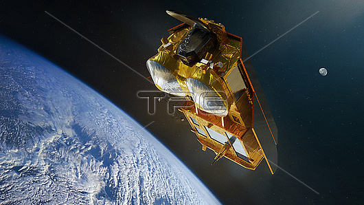
Conceptual illustration of CRISTAL (Copernicus Polar Ice and Snow Topography Altimeter) satellites. This satellite, planned to launch in 2027, will carry a dual-frequency radar altimeter and microwave radiometer. This will allow CRISTAL to measure sea-ice thickness, overlying snow depth and ice-sheet elevations.
| px | px | dpi | = | cm | x | cm | = | MB |
Details
Creative#:
TOP28464849
Source:
達志影像
Authorization Type:
RM
Release Information:
須由TPG 完整授權
Model Release:
N/A
Property Release:
N/A
Right to Privacy:
No
Same folder images:
 Loading