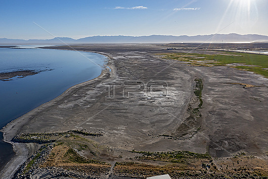
Aerial photograph of the shoreline of Great Salt Lake, Magna, Utah, USA, showing dry land that was underwater until the lake level fell.
| px | px | dpi | = | cm | x | cm | = | MB |
Details
Creative#:
TOP28465443
Source:
達志影像
Authorization Type:
RM
Release Information:
須由TPG 完整授權
Model Release:
N/A
Property Release:
N/A
Right to Privacy:
No
Same folder images:

 Loading